beach at Morro del Jable (Jandia)
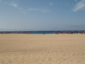 The long and famous beach on jandia expires at the old fishing village Morro Jable. Morro Jable also marks the end of tourism area.
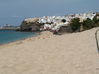 In the south the beach is wonderful. The beach is wide and has enough space for all sunbathing people. This picture shows the beach infront of Morro Jable.
south of Jandia
mountain pass to cofete
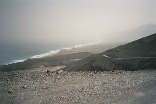 To the south of Morro Jable the island is meager. Across a small mountain pass you arrive the west coast and the village cofete.
Cofete
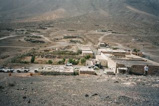 The small village Cofete is located lonely and silent at the west coast of Jandia. You can arrive this village over an small mountain pass from Morro Jable.
Playa Sotavento
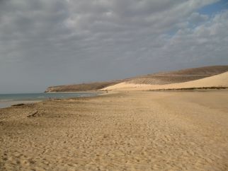 The Playa Sotavento is a few kilometer south of Costa Calma. There is a lot of space and only a few hotels at this beach. Who want's to enjoy this beach either has to walk far, or travel bei car.
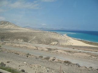 A view over the playa sotavento at high tide. In the backround you can see the bay with Costa Calma.
Costa Calma

View over Costa Calma with hotels. This picture was taken at low tide, at high tide the water reaches the rocks. In the backround you can see the Playa Sotavento.
Mirador Morro Velosa
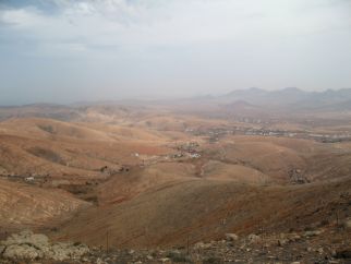 Unlike neigbhboring island Gran Canaria is Fuertventura inside also meager, as you can see on this view over the northwest. This picture was made at the lookout Morro Velosa, wich is locaded north of Betancuria.
silted up dam “Embalse de las Peñitas”
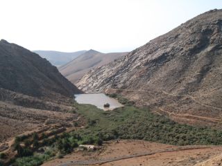 This little forest is in/on the silted up water reservoir “Embalse de las Peñitas”. The water reservoir silted up, in the background you can see the old dam.
American Star
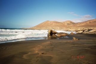 At the westcoast the breakers are stronger then at the beaches of the eastcoast. Because of this swimming is forbidden at this beaches of the westcoast.
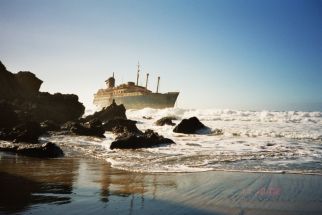 The aground American Star is an tourist attraction of the west coast. The wreck is on an beautiful beach. This picture was taken in 2002, today the wreck is much smaller and nearly complete under water.
Ajuy
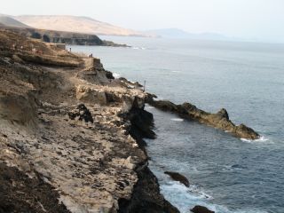 The way feeds along the cliff line from Ajuy to cave of ajuy. In the past the offshore barrier reef has protected landing cargo ships.
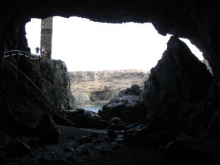 View outwards from the cave. On leftside you can see stairs leading down into the cave.
Faro de la Entallada
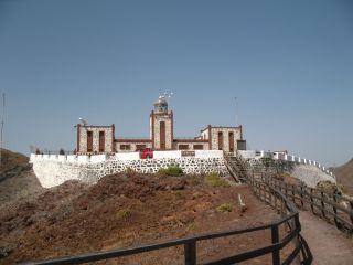 The beatiful old lighthouse “Faro de Entallada” is located at the eastcoast of Fuerteventura.
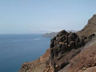 Close to the lighthouse there is an lookout, from where you have an nice view over the coast, which is in this area an cliff line.
Northeast with Corralejo
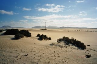 In the northeast of fuerteventura is El Jable, an large area with the famous dunes. In the north El Jable borders on Corralejo. The landscape riminds on a desert somewhere in Africa.
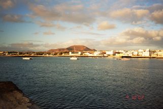 The city Corralejo is in the northeast of the island. Corralejo is one of the big tourism areas of fuerteventura. In the backround you can see an old vulcan.
northwest of fuerteventura
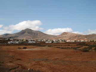 The village Tetir is located in the northwest of Fuerteventura.
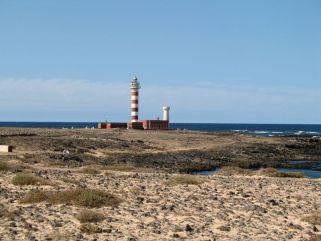 This beacon, called Faro de Toston, is built north of Cotillo. In this area the terrain is planar.
Home
 español